sensors
GS-260X LiDAR Solution
300 m Maximum Measuring Range
1.92 Million Points per Second
Triple-Return LiDAR
1.1 kg Integrated System
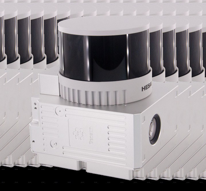
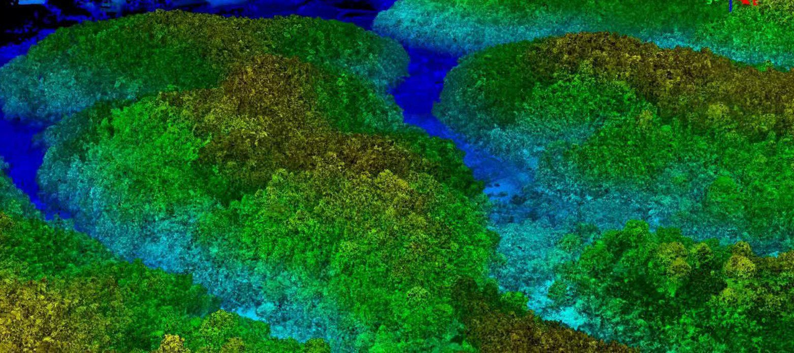
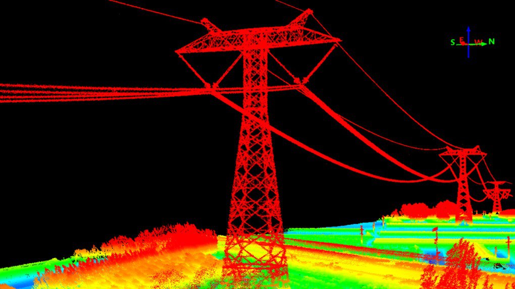
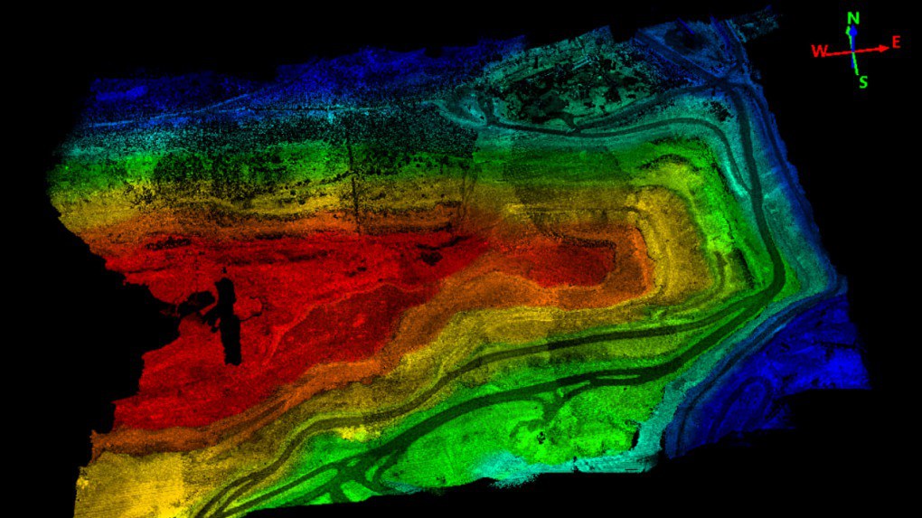
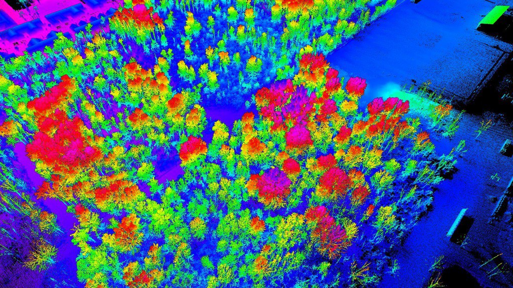
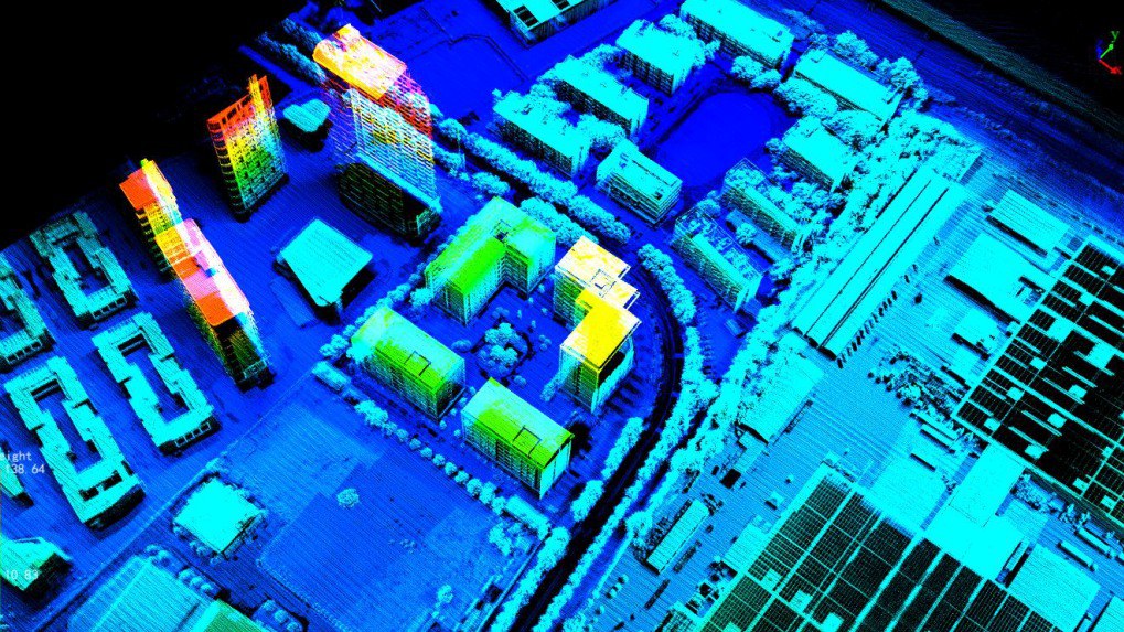
The GS-260X is a lightweight, high-precision LiDAR solution for airborne and vehicle-based mapping. It offers a maximum 300 m measuring range, up to 1.92 million points per second, triple returns and simultaneous point-cloud and image capture.
High Point Density
Up to 1.92 million points per second with triple returns.
Long Measuring Range
Maximum 300 m laser measuring range.
Lightweight Payload
1.1 kg system weight for multi-rotor, VTOL and vehicle platforms.
Integrated Imaging
26 MP camera with an 80-degree field of view.
Multi-Platform Deployment
Compatible with multi-rotor aircraft, VTOL platforms and vehicles.
Mapping Software Workflow
Supports point-cloud classification and post-processing workflows.
Software &
Mission Planning
Compatible with mission planning and autopilot software including QGroundControl.
Learn more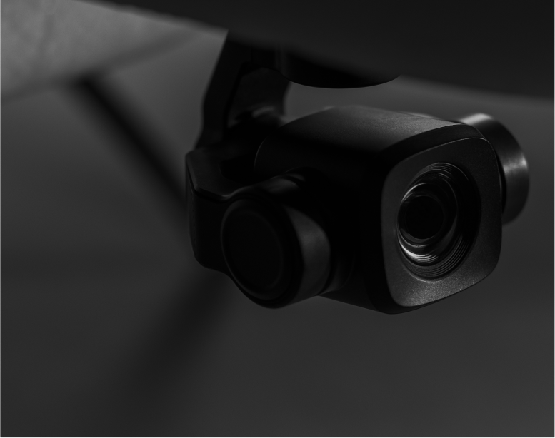
Cameras, LiDAR
& Sensors
Choose from LiDAR, RGB, multispectral, thermal and other sensor systems.
View sensorsSoftware & Mission Planning
Compatible with mission planning and autopilot software including QGroundControl.
Learn moreCameras, LiDAR & Sensors
Choose from LiDAR, RGB, multispectral, thermal and other sensor systems.
View sensorsProduct
Resources
Download the supplied GS-260X LiDAR solution brochure and specifications.
Technical &
Warranty Support
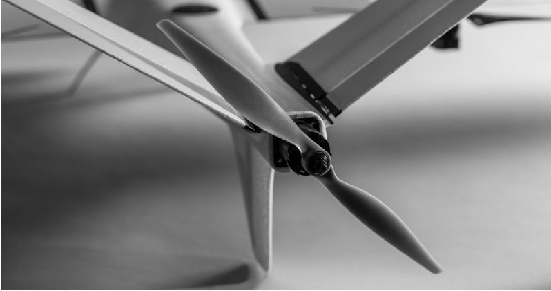
Reconnaître offers technical support and training for customers. Additional batteries and propellers are available for purchase.
Use Cases
Our products support commercial surveying, mapping, monitoring and inspection operations.
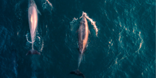
Fish & Animal Counting
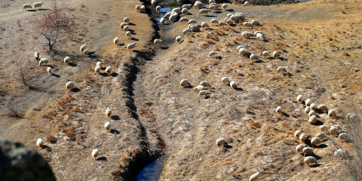
Livestock Monitoring
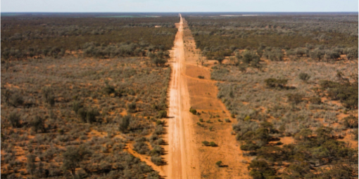
Mine Surveying