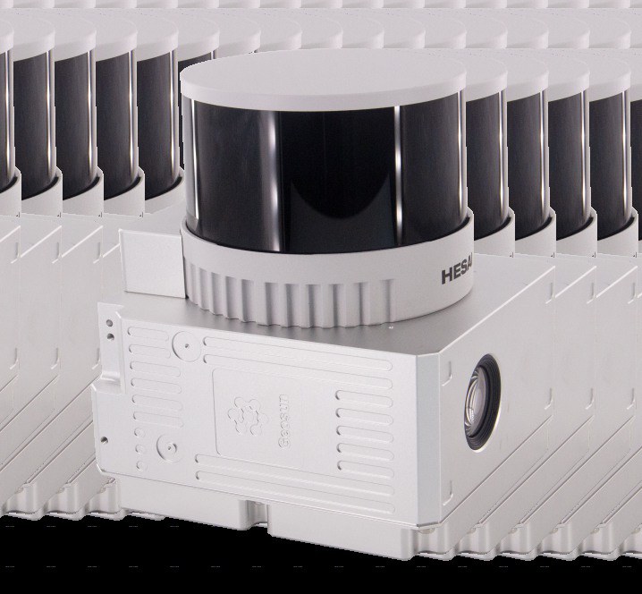
GS-260X LiDAR Solution
A lightweight 300 m LiDAR mapping system producing up to 1.92 million points per second with triple returns and integrated 26 MP imaging.
Australian-made drone systems and components.
A lightweight 300 m LiDAR mapping system producing up to 1.92 million points per second with triple returns and integrated 26 MP imaging.
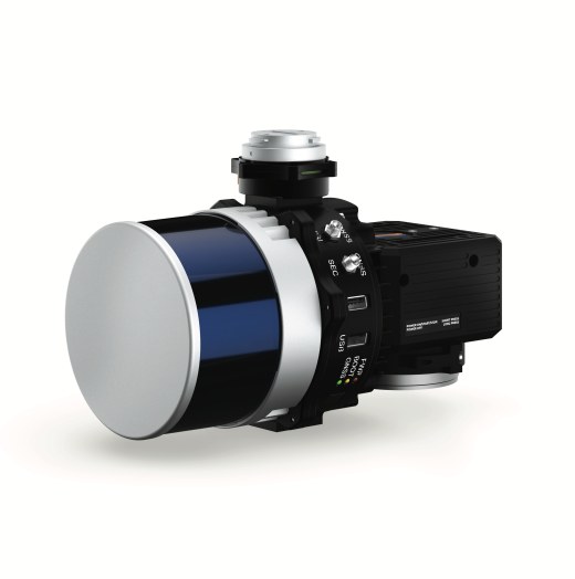
A compact sensor-fusion LiDAR mapping payload combining a Hesai XT-32 scanner, tactical-grade INS, dual-antenna GNSS and optional 24 MP imaging.
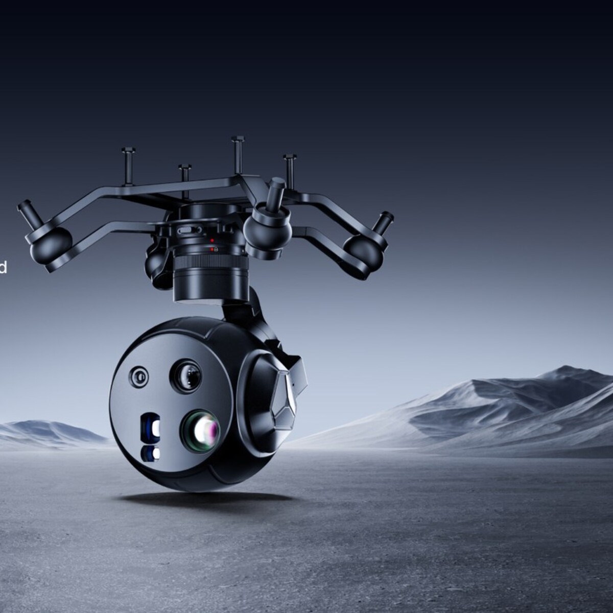
A compact AI-enabled UAV payload integrating wide-angle and zoom cameras, thermal imaging and a 1200 m laser rangefinder in a three-axis stabilized pod.