drones
R-900
Up to 55-Minute Hover Endurance
2.1 kg Maximum Payload
Up to 35 km Transmission Range
Forward LiDAR Obstacle Avoidance
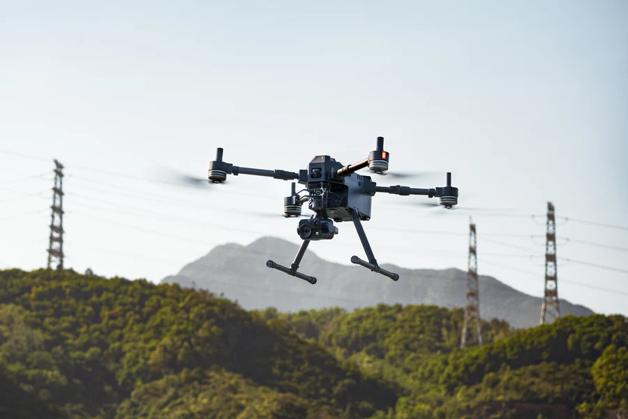
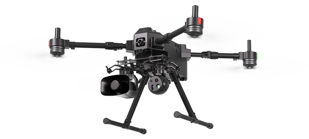
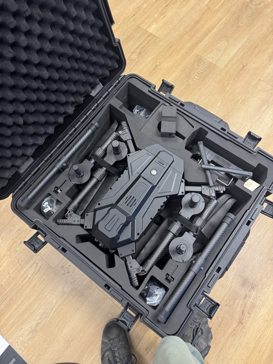
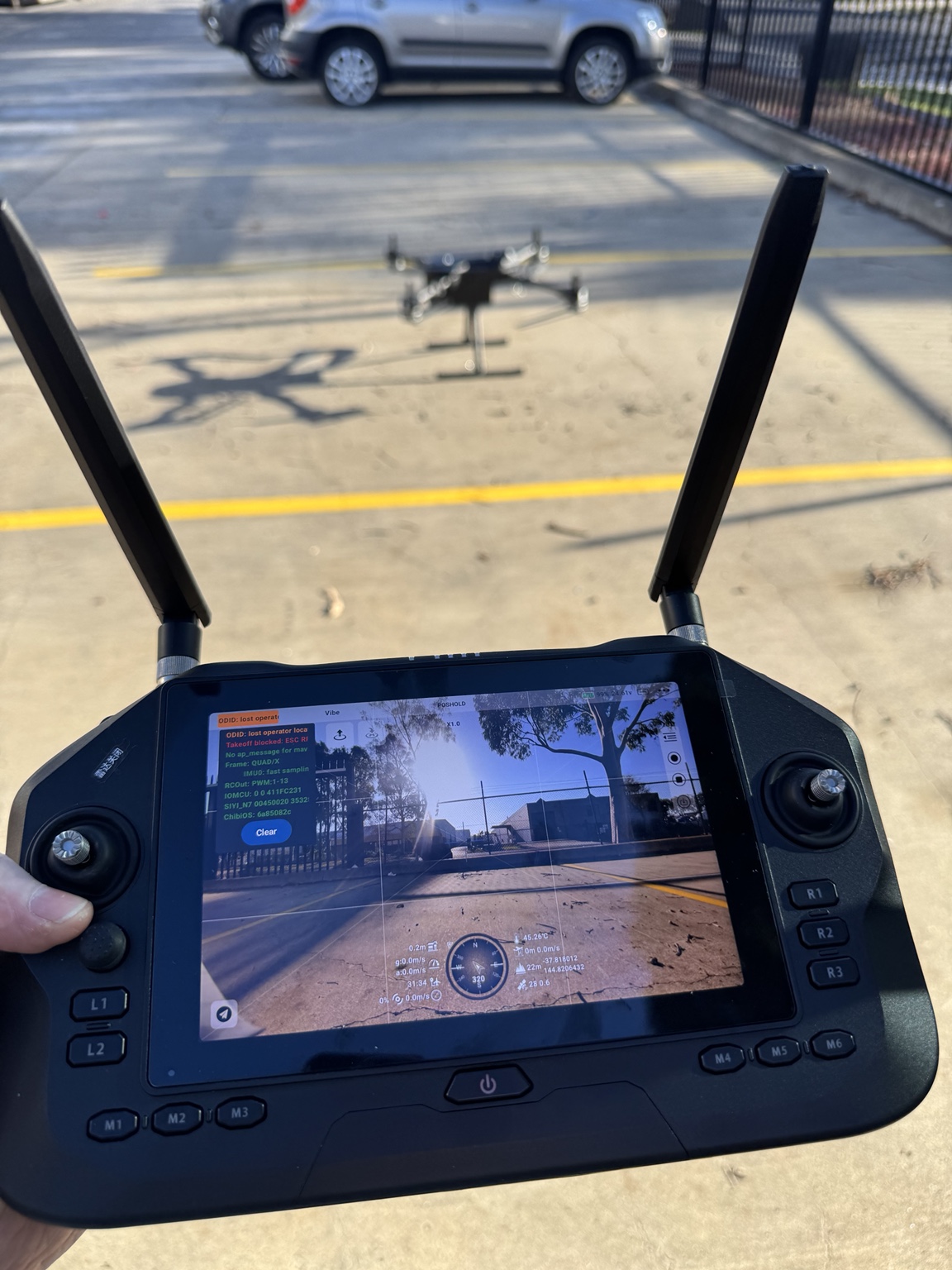
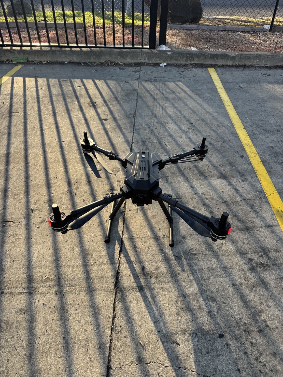
The R-900 is an industry-grade multifunctional quadcopter platform designed for surveying, inspection, public safety, emergency response, agriculture and other payload-intensive operations. Its folding arms and quick-release landing gear support efficient transport and field deployment.
Long Endurance
Up to approximately 55 minutes of hover endurance with the 17 Ah smart battery and no external payload.
Flexible Payload Integration
Supports payloads up to 2.1 kg with front and rear expansion interfaces for cameras, LiDAR and mission equipment.
Long-Range Control
Published maximum effective transmission range of up to 35 km in unobstructed, low-interference conditions.
Safer Flight Operations
Forward LiDAR obstacle avoidance, dual-IMU flight-control redundancy, night-flight lighting and an IPX4 aircraft protection rating.
Rapid Field Deployment
Horizontally folding arms, folding 22-inch propellers and quick-release landing gear reduce setup and pack-down time.
Open Mission Software
Compatible with UniGCS, Mission Planner and QGroundControl for planning, control and autonomous operations.

Software &
Mission Planning
Compatible with mission planning and autopilot software including QGroundControl.
Learn more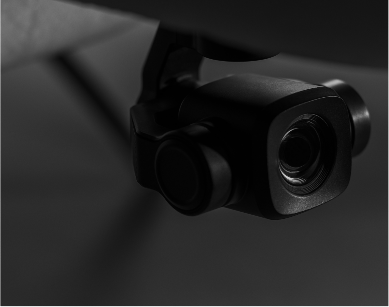
Cameras, LiDAR
& Sensors
Choose from LiDAR, RGB, multispectral, thermal and other sensor systems.
View sensorsSoftware & Mission Planning
Compatible with mission planning and autopilot software including QGroundControl.
Learn moreCameras, LiDAR & Sensors
Choose from LiDAR, RGB, multispectral, thermal and other sensor systems.
View sensorsProduct
Resources
Download the supplied R-900 platform user manual, including operation, safety, maintenance and technical information.

Technical &
Warranty Support
Reconnaître offers technical support and training for customers. Additional batteries and propellers are available for purchase.
Use Cases
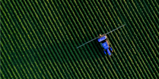
Our products support commercial surveying, mapping, monitoring and inspection operations.

Fish & Animal Counting
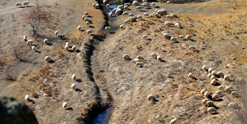
Livestock Monitoring
Mine Surveying