sensors
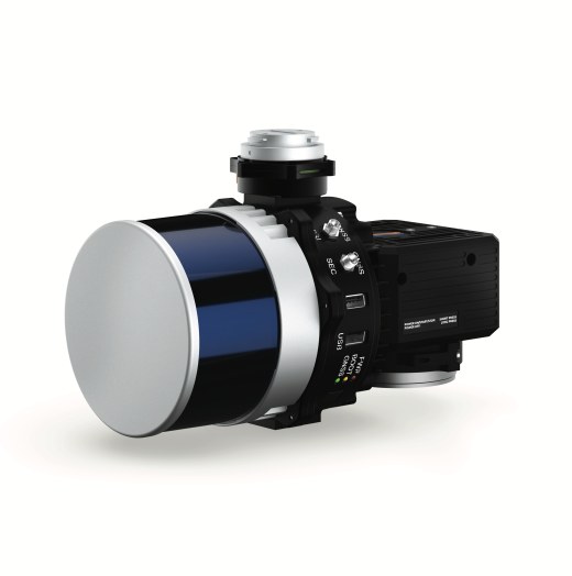
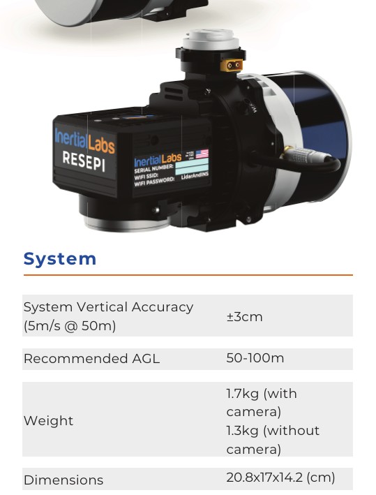
RESEPI HESAI XT-32 LiDAR System
Up to 1.28 Million Points per Second
32-Laser 360-Degree Scanning
RTK and PPK Positioning
Optional 24 MP RGB Camera
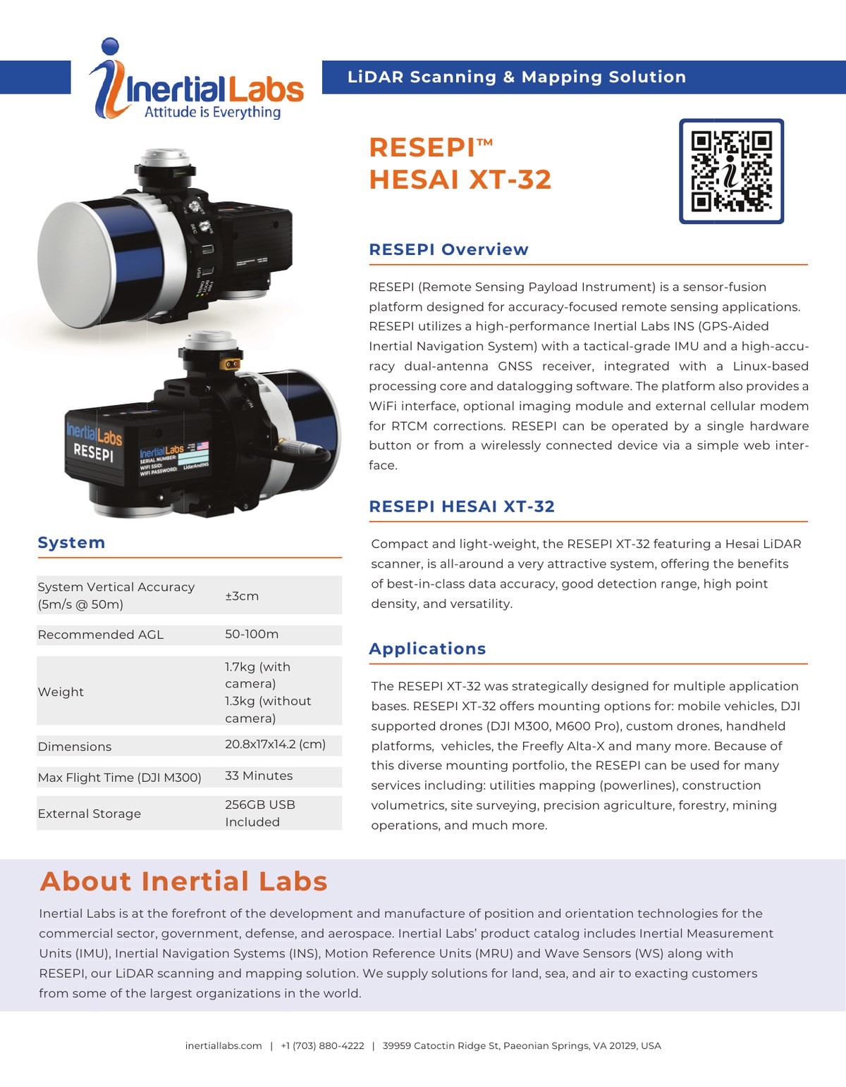
The RESEPI HESAI XT-32 is a compact LiDAR scanning and mapping payload for accuracy-focused remote-sensing applications. It integrates a Hesai XT-32 scanner with an Inertial Labs GPS-aided INS, tactical-grade IMU, dual-antenna GNSS, Linux processing core and data-logging software.
Survey-Grade Accuracy
Published system vertical accuracy of +/-3 cm at 5 m/s and 50 m AGL.
High-Density Scanning
32 lasers and up to 1.28 million points per second in dual-return mode.
Flexible Mounting
Supports custom drones, DJI M300 and M600 Pro, Freefly Alta-X, vehicles and handheld platforms.
Integrated Navigation
Tactical-grade IMU with single or dual-antenna GNSS and RTK/PPK positioning.
Optional RGB Imaging
Optional ADTi 24 MP RGB camera with Sony E-mount lens.
Simple Field Operation
Hardware-button operation or wireless control through a web interface.

Software &
Mission Planning
Compatible with mission planning and autopilot software including QGroundControl.
Learn more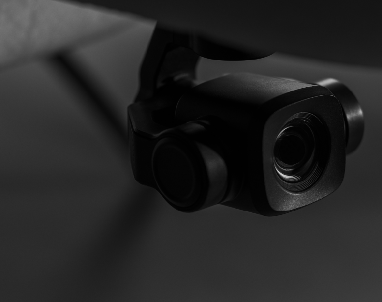
Cameras, LiDAR
& Sensors
Choose from LiDAR, RGB, multispectral, thermal and other sensor systems.
View sensorsSoftware & Mission Planning
Compatible with mission planning and autopilot software including QGroundControl.
Learn moreCameras, LiDAR & Sensors
Choose from LiDAR, RGB, multispectral, thermal and other sensor systems.
View sensors
Technical &
Warranty Support
Reconnaître offers technical support and training for customers. Additional batteries and propellers are available for purchase.
Use Cases
Our products support commercial surveying, mapping, monitoring and inspection operations.

Fish & Animal Counting

Livestock Monitoring
Mine Surveying